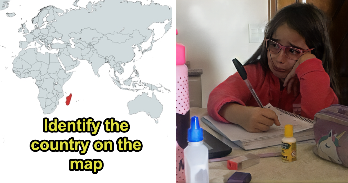
Recognizing a country on a labeled world map feels easy. Remove the labels, neighboring nations, oceans, capital cities, and reassuring little compass rose, however, and geography suddenly becomes a police lineup of suspicious blobs.
Country outline quizzes have become popular online because they expose a strange gap in our knowledge. We may know Japan is in East Asia, Italy serves excellent pasta, and Chile appears somewhere down the left side of South America. Yet when those countries are reduced to black silhouettes, confidence can disappear faster than a tiny island on a low-resolution map.
This geography challenge features 30 country maps that commonly cause confusion. Some are famous shapes that become surprisingly difficult when rotated. Others resemble their neighbors, contain islands that quiz designers conveniently forget, or possess borders so unusual that they look like somebody drew them during a bumpy bus ride.
Cover each answer heading, study the clues, and keep score. One point for the correct country, zero points for answering “somewhere in Europe,” and minus five imaginary points for blaming the map.
Why Country Outline Maps Are So Deceptive
A globe represents Earth more naturally than a flat map, but most online quizzes use two-dimensional images. Flattening a spherical planet always creates some distortion. Depending on the map projection, an outline may appear stretched, compressed, tilted, or larger than expected. High-latitude regions are especially vulnerable to visual exaggeration.
Quiz designers create additional chaos by rotating silhouettes, removing small islands, simplifying complicated coastlines, or displaying every country at the same size. A narrow nation such as Chile may therefore appear as tall as a much larger country. Once scale and orientation disappear, your brain must rely on coastlines, border angles, peninsulas, and negative space.
Ready to discover whether your internal atlas is accurate or merely decorative?
Round One: Famous Country Shapes With Sneaky Twists
1. Italy: The Boot That Sometimes Loses Its Ball
Answer: Italy. The boot-shaped peninsula is one of the world’s most recognizable country outlines. The trick is Sicily. Some quizzes include the island near the “toe,” making it look like the boot is kicking a ball. Others remove islands entirely, leaving Italy looking like lonely footwear searching for its soccer equipment.
2. Chile: The Ribbon Along South America
Answer: Chile. Look for an exceptionally long, narrow strip with a rugged southern end. Chile follows the Pacific side of South America, squeezed between the Andes and the ocean. When rotated horizontally, it can resemble a scratch on the screen, which is an excellent way to make confident players question their eyesight.
3. Japan: The Curved Island Chain
Answer: Japan. Japan is an archipelago built around four main islands: Hokkaido, Honshu, Shikoku, and Kyushu. Its familiar northeast-to-southwest curve is the key clue. Simplified maps may omit smaller islands, while rotated versions can make the country resemble a drifting seahorse or a collection of crumbs escaping from breakfast.
4. New Zealand: Two Main Islands, One Common Mistake
Answer: New Zealand. The North Island and South Island form a slanted pair in the southwestern Pacific. Players often recognize the two-part structure but reverse the country or rotate it sideways. Remember that the larger South Island is longer and more mountainous, while the North Island has a more irregular, hook-like shape.
5. Vietnam: The Elegant S-Shaped Outline
Answer: Vietnam. Vietnam is a long, narrow Southeast Asian country commonly described as S-shaped. Its northern and southern regions widen around a slender central section. Without neighboring Laos, Cambodia, and China, the silhouette may resemble Chile, although Vietnam has more pronounced bulges at both ends and a gentler coastal curve.
6. Thailand: The Country With a Long Southern Tail
Answer: Thailand. Thailand has a broad northern and central body that narrows dramatically into the Malay Peninsula. The southern extension is the giveaway. Rotate the outline and it becomes far less obvious, looking variously like an elephant’s head, a flower vase, or a question mark that has given up halfway through.
7. Greece: Mainland Plus a Handful of Geographic Confetti
Answer: Greece. Greece combines an irregular southern European mainland with peninsulas and numerous islands. A detailed silhouette looks gloriously complicated. A simplified one may show only the mainland, making identification much harder. Focus on the deeply indented coastline and the narrow land projections extending into the Mediterranean region.
8. Norway: The Long, Jagged Atlantic Edge
Answer: Norway. Norway stretches northward along the western side of the Scandinavian Peninsula. Its coastline is famously broken by fjords, islands, and inlets, producing a rough, serrated edge. On small images, those details disappear, and Norway can be confused with Sweden, which has a smoother eastern outline and no Atlantic-facing fjord maze.
9. Iceland: The Chunky Island With Uneven Edges
Answer: Iceland. Iceland is a solitary North Atlantic island with an irregular coastline and several prominent peninsulas. It is frequently confused with Ireland because both names begin with “I” and both appear as green islands on classroom maps. Iceland is generally wider, rougher, and more horizontally stretched than Ireland.
10. Madagascar: The Giant Island East of Africa
Answer: Madagascar. Madagascar has a long north-south form with a rounded southern section and a narrower northern tip. It lies off Africa’s southeastern coast, but silhouette quizzes remove that useful context. Players sometimes guess Sri Lanka, although Madagascar is more elongated and has a noticeably different eastern coastline.
Round Two: European and Asian Maps That Love Causing Arguments
11. Croatia: The Crescent Around Its Neighbor
Answer: Croatia. Croatia’s outline curves around much of Bosnia and Herzegovina, creating a crescent, horseshoe, or boomerang-like form. Its long Adriatic coastal section makes the silhouette especially unusual. Without neighboring borders, some people assume the empty central space belongs to Croatia. Geography replies, “Nice try.”
12. Denmark: A Peninsula Surrounded by Islands
Answer: Denmark. Denmark consists of the Jutland Peninsula and hundreds of islands, although most quizzes show only the largest. The mainland portion points north from Germany, while major islands sit to the east. Remove those islands and Denmark becomes a rather anonymous bump; include every island and it looks like a plate shattered near Sweden.
13. Portugal: The Upright Slice of Iberia
Answer: Portugal. Portugal occupies the western edge of the Iberian Peninsula. Its mainland outline is tall, compact, and roughly rectangular, with the Atlantic on the west and south. When shown alone, it can be mistaken for several smaller European countries. The comparatively straight eastern border and broader southern region provide useful clues.
14. Austria: The Country With a Western Handle
Answer: Austria. Austria stretches mainly from west to east, but its narrow western section creates a distinctive handle-like extension. Players regularly confuse it with Switzerland because both are landlocked Alpine nations. Switzerland is more compact, while Austria looks as though someone gently pulled its western side toward Liechtenstein.
15. Hungary: A Compact Shape in Central Europe
Answer: Hungary. Hungary has a broad, relatively rounded outline with no coastline and few dramatic protrusions. That lack of an obvious gimmick is precisely what makes it difficult. It can resemble a flattened bean, a bowl, or several neighboring states after an unfortunate photocopier accident. Its balanced east-west width is the main visual clue.
16. Romania: Rounded, Broad, and Easy to Misplace
Answer: Romania. Romania has a broad, roughly rounded shape with the Black Sea forming part of its southeastern edge. It is often mixed up with Bulgaria or Hungary when maps remove regional context. Look for Romania’s greater north-south depth and its southeastern projection toward the Black Sea coast.
17. Bulgaria: A Broad Country With an Eastern Coast
Answer: Bulgaria. Bulgaria stretches from west to east and meets the Black Sea along its eastern side. Its outline is more rectangular than Romania’s and generally flatter across the north. On a silhouette map, the modest coastline may be difficult to notice, turning Bulgaria into one of those answers everybody recognizes approximately three seconds too late.
18. Nepal: The Long Himalayan Strip
Answer: Nepal. Nepal forms an elongated east-west band between India and China. Its outline is irregular but consistently narrow compared with its length. Bhutan is the classic wrong answer, yet Bhutan is shorter and more compact. Think of Nepal as a geographic banner stretched beneath the Himalayas.
19. Bhutan: Nepal’s Compact Look-Alike
Answer: Bhutan. Bhutan also runs mainly east to west between India and China, but its silhouette is thicker and more compact than Nepal’s. When both maps are resized to identical dimensions, the difference becomes harder to judge. That is the quiz equivalent of placing identical hats on two suspects and turning off the lights.
20. Cambodia: The Boxier Mainland Southeast Asian Shape
Answer: Cambodia. Cambodia has a relatively compact body, an irregular northern edge, and a short southwestern coastline on the Gulf of Thailand. It is commonly confused with Laos, which is landlocked and extends farther north. Cambodia appears wider and more balanced, while Laos has a longer, narrower profile.
Round Three: Expert-Level Country Outlines
21. The Gambia: A Nation Following a River
Answer: The Gambia. The Gambia is an extremely narrow West African country whose borders largely follow the Gambia River inland from the Atlantic. Senegal surrounds it on three sides. Its long, thin silhouette is unlike most countries, yet players often dismiss it as a river drawn accidentally across the quiz page.
22. Senegal: The Country Wrapped Around The Gambia
Answer: Senegal. Senegal’s outline contains a long indentation created by The Gambia. That interior gap is the decisive clue. If the smaller country is removed from the image, Senegal can appear as though somebody cut a narrow channel into its western side and forgot to explain why.
23. Lesotho: The Enclave Inside South Africa
Answer: Lesotho. Lesotho is completely surrounded by South Africa, making it a sovereign enclave. Displayed alone, however, its compact and irregular outline offers few obvious clues. Players often guess Eswatini, but Eswatini is not enclosed by one country; it also shares a border with Mozambique.
24. Eswatini: Small, Vertical, and Not an Enclave
Answer: Eswatini. Eswatini is a small, landlocked country bordered by South Africa and Mozambique. Its silhouette is somewhat elongated from north to south. Because it appears near Lesotho on regional maps and is similar in size, the two are frequently confused. Remember: Lesotho is surrounded; Eswatini has two neighbors.
25. Benin: The Narrow Country That Widens Northward
Answer: Benin. Benin forms a north-south strip in West Africa, with a relatively short Atlantic coast and a broader northern interior. It is regularly confused with neighboring Togo. Benin is the wider of the two and has a more pronounced expansion toward the north.
26. Togo: The Slim Vertical Strip
Answer: Togo. Togo is one of West Africa’s narrowest-looking countries, stretching north from a small coastline on the Gulf of Guinea. Its long vertical form is the major clue. When displayed beside Benin, Togo looks like the slimmer sibling who volunteered to stand at the edge of the family photograph.
27. Guyana: The Larger Guiana Look-Alike
Answer: Guyana. Guyana sits on South America’s northern Atlantic coast and widens across its northern region before tapering unevenly toward the south. It is frequently confused with neighboring Suriname. Guyana is larger and has a more angular western side, although resizing both silhouettes can hide that advantage.
28. Suriname: Compact, Coastal, and Commonly Swapped
Answer: Suriname. Suriname lies directly east of Guyana and has a compact outline with a northern Atlantic coast and an irregular southern boundary. When country maps are displayed without scale, Suriname and Guyana become a brutal pair. Compare proportions rather than size: Suriname generally appears shorter and more compact.
29. Zambia: The Landlocked Butterfly
Answer: Zambia. Zambia has an irregular landlocked outline that is sometimes compared to a butterfly with uneven wings. Several angular borders and a western projection give it a distinctive but complicated silhouette. It is often mistaken for Zimbabwe, especially when the map is rotated or stripped of neighboring countries.
30. Zimbabwe: Compact With Strong Angled Borders
Answer: Zimbabwe. Zimbabwe sits south of Zambia and has a broader, more compact outline. Its northeastern and southeastern borders form noticeable diagonal edges. Compared with Zambia, it looks less spread out and more solid. This final map is where quiz participants traditionally begin negotiating for partial credit.
How to Identify Country Maps More Accurately
Start by deciding whether the silhouette represents an island, a coastal country, or a landlocked state. Next, examine its overall proportions. Is it tall and narrow, long and horizontal, compact, crescent-shaped, or split into separate pieces?
Then look for geographic fingerprints: a peninsula, a deep indentation, an unusually straight border, a detached island, or a narrow corridor. Compare relationships rather than memorizing every bump. Nepal is longer than Bhutan. Benin is wider than Togo. Senegal contains the recognizable Gambia indentation. Croatia bends around Bosnia and Herzegovina.
Finally, mentally rotate the image. Online quizzes frequently turn countries sideways or upside down because apparently normal geography was not sufficiently stressful.
The Real Experience of Taking a 30-Country Map Challenge
A typical country outline quiz begins with dangerous confidence. Italy appears first, and the answer is immediate. Chile follows, then Japan. The player leans back and begins imagining a perfect score, perhaps followed by an honorary position at the National Geographic Society. This optimism usually survives until an unlabeled central European country appears.
The first major lesson is that recognition depends heavily on context. On a world map, Portugal is easy because it sits beside Spain. Remove Spain, enlarge Portugal to fill the screen, and rotate it 90 degrees, and the familiar country suddenly resembles an unusually disciplined potato. The same problem affects Romania, Bulgaria, Austria, Hungary, and many compact landlocked states.
Island countries create a different kind of confusion. Players may know the general arrangement of Japan or New Zealand but struggle when small islands are omitted. A quiz showing only Japan’s largest island would produce a very different silhouette from one displaying the entire archipelago. Greece and Denmark are even more vulnerable because their recognizable identities depend partly on scattered islands and complicated coastlines.
Another memorable experience is discovering how often neighboring countries become mental packages. Benin and Togo are remembered together. Guyana and Suriname occupy the same mental drawer. Nepal and Bhutan are stored under “small Himalayan countries,” while Zambia and Zimbabwe are frequently separated by nothing more sophisticated than alphabetical order. A good outline quiz forces the brain to unpack these pairs and identify individual visual features.
Rotation is often the most humbling trick. A country recognized instantly in its usual north-up orientation may become mysterious when turned sideways. Vietnam stops looking like an S. Italy’s boot appears to be falling through space. New Zealand resembles two leaves blown off a tree. The experience demonstrates that many people memorize orientation rather than actual shape.
The most effective improvement comes from studying borders as relationships. Senegal is easier to remember when connected with The Gambia. Croatia becomes clearer when understood as curving around Bosnia and Herzegovina. Lesotho’s significance comes from being enclosed by South Africa. These geographic stories provide stronger memory anchors than repeatedly staring at isolated black shapes.
There is also a useful moment when players stop treating mistakes as evidence that they are “bad at geography.” Country borders are complicated historical products, not logos designed for instant recognition. Some follow rivers or mountains. Others reflect colonial agreements, former conflicts, administrative decisions, or access to coastlines. Expecting every outline to be visually obvious is like expecting every family tree to resemble an actual tree.
After several rounds, improvement becomes noticeable. The player begins checking coastlines before guessing, comparing width-to-height ratios, and looking for distinctive notches. An outline that once seemed like a random polygon starts revealing information. A narrow southern peninsula suggests Thailand. A river-like corridor indicates The Gambia. A missing interior strip points toward Senegal.
The best part of the experience is not achieving a perfect score. It is realizing that maps become easier when they are connected to physical geography, neighboring countries, and history. The next time a mysterious silhouette appears online, it is no longer merely a blob. It is evidence waiting to be examinedwith slightly less panic and considerably fewer accusations against the quiz designer.
Conclusion: How Many Country Maps Did You Recognize?
Country outline quizzes prove that knowing where a nation is located is not the same as recognizing its borders. Famous silhouettes such as Italy, Chile, and Vietnam provide a friendly start, but Croatia, Bhutan, Benin, Suriname, and Zambia quickly separate casual map viewers from dedicated geography detectives.
A score above 25 is outstanding. Between 18 and 24 is strong. Between 10 and 17 means your geographic instincts are working but occasionally taking unauthorized vacations. Below 10 simply means you now have 30 memorable shapes to study before demanding a rematch.
More importantly, every mistake offers a useful clue about coastlines, neighboring states, enclaves, peninsulas, islands, and the unavoidable distortions created when a round planet is squeezed onto a flat screen. Geography is not only about memorizing names. It is about understanding how places fit together.